Innovations
My work involves developing open-source tools, cloud applications, and browser extensions to streamline geospatial workflows for researchers and data scientists.
🌍 Google Earth Engine Apps (Native)
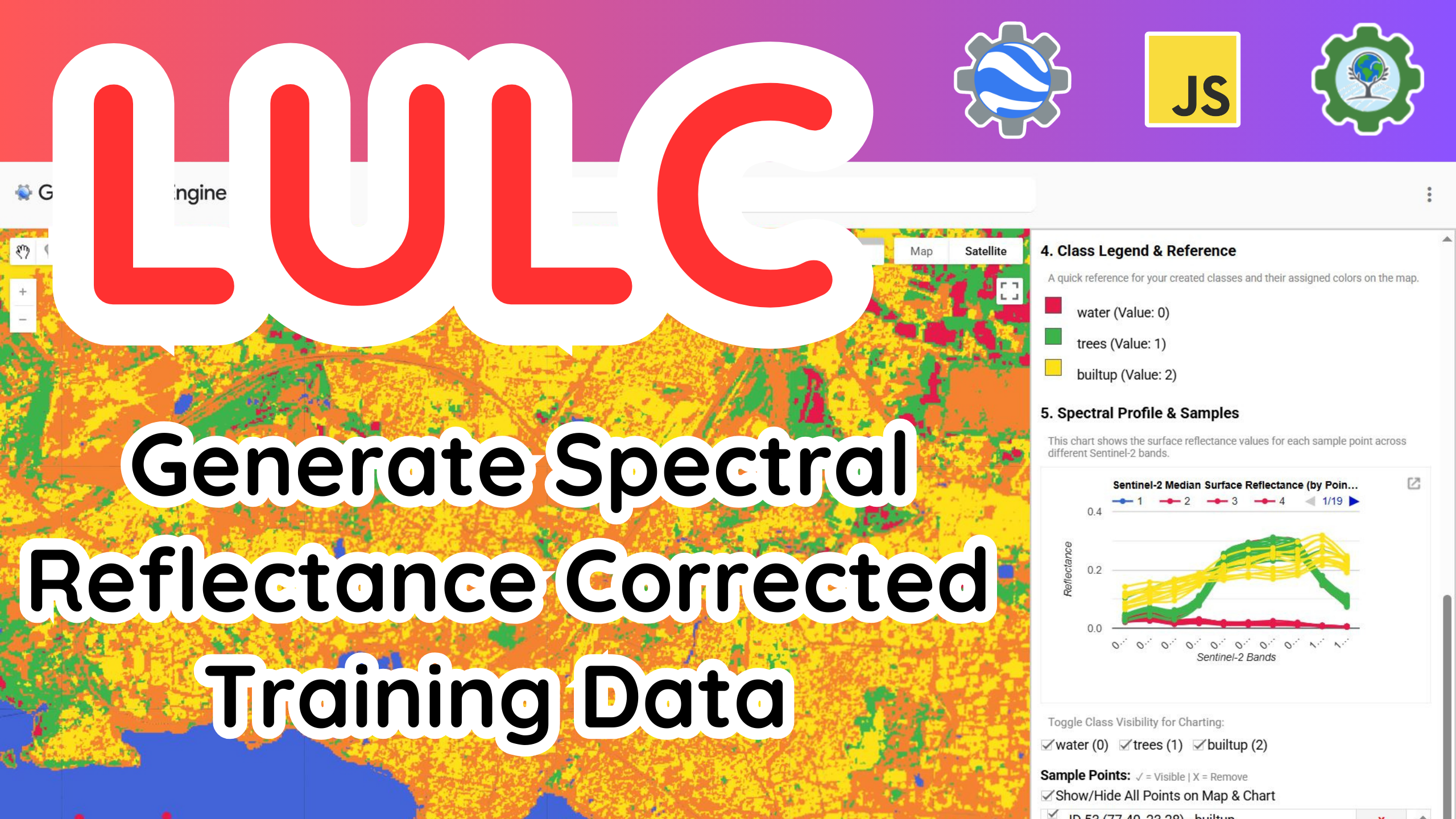
Spectral Reflectance Curve
Advanced tool for analyzing spectral signatures across multiple bands for land cover characterization.
Phenology Signature
Automating crop classification using multi-temporal phenological patterns and signature analysis.
Flood Susceptibility
Analytic Hierarchy Process (AHP) implementation for rigorous regional flood vulnerability mapping.
🛠️ Extensions & Tools
📚 R Library
📊 R Shiny Apps
🚀 Streamlit Apps
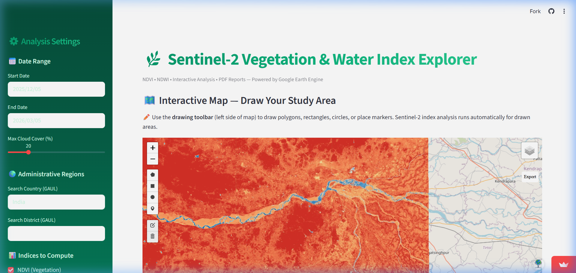
Sentinel-2 Index Explorer
Interactive environmental analysis tool for automated Sentinel-2 NDVI and NDWI analysis.
📦 Python Packages
geeadvance
A Python package for functional programming utilities to streamline Earth Engine API workflows.
deepgee
Bridge GEE datasets with Deep Learning models for automated satellite imagery classification.
